Satellite Internet is the ability to transmit and receive data from a relatively small satellite dish on Earth and communicate with an orbiting geostationary satellite 22,300 miles above Earth's equator. The orbiting satellite transmits (and receives) its information to a location on Earth called the Network Operations Center or NOC (pronounced "knock"). The NOC itself is connected to the Internet (or private network), so all communication made from a satellite dish to the orbiting satellite will flow through the NOC before it reached the Internet.
Data communication via satellite is not much different than someone using a land based data provider, at least from the standpoint of the Internet user. The key to remember is that once the satellite system is configured by the installer, satellite service acts nearly identically as any other ISPs and may be configured as such.
What is a Geostationary Satellite?
There is a location in space where you can place a satellite in orbit so that from the ground, the satellite appears stationary. What is happening is that the satellite is actually orbiting the Earth at the same speed the Earth is rotating. The satellite makes a complete orbit around the Earth in 24 hours, or exactly one day. Geostationary satellites are only located at 22,300 miles directly above the Earth's equator and nowhere else.
A Satellite's Longitude
All Geostationary satellites have a name like "Galaxy 18" or "AMC-4"... and they ALSO have a longitude position. If you recall from high school, longitude refers to those imaginary long lines that travel down the Earth for global mapping. There are 360 degrees of longitude readings for Earth (360 degrees is a full circle). If one knows the longitude of a satellite, one knows where the satellite is located in the sky because all Geostationary satellites are always located above the equator (or zero latitude).
To further confuse things, longitude is divided into two halves of West Hemisphere and East Hemisphere. All orbital "Slots" for satellites would be between 0° to 180° in the Eastern Hemisphere, and 0° to 180° in the Western Hemisphere. A satellite orbiting over the Galapagos Islands that services North and South America may have a Orbital slot of 101° West Longitude. A satellite orbiting over Malaysia that services Asia and Australia may have the orbital slot of 100.5° East Longitude. Satellite longitudes help installers locate where to point a satellite dish. It also helps in finding obstacles from an installation location and the satellite.
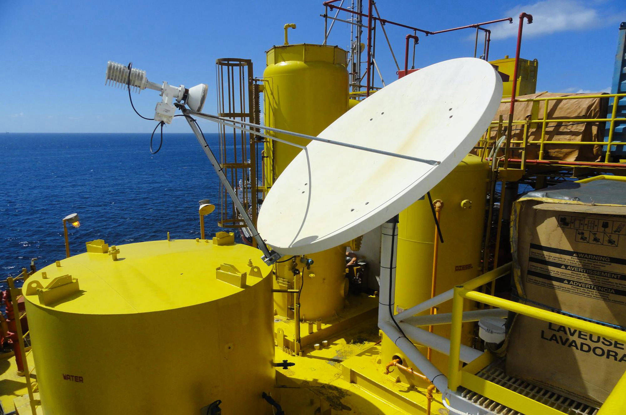
Satellite Look Angle
Any obstacle (such as a tree or mountain) will interfere with a satellite signal. It is important that there are no obstacles between the installation location of the satellite dish and the orbiting satellite. In the industry, we call this a clear "line-of-sight" to the satellite. Fortunately, finding if there is clear line of sight is is simplified by using a Look Angle Calculator. All that is needed is a current address (anywhere in the world), and the orbital Longitude of the satellite (see description of orbital longitude above). Plug these two details in, and the calculator will give you a compass heading of the satellite, and the degrees up from the horizon it is located, and a cool overhead picture of the installation location including a line showing the direction of the satellite. Here is the free Look Angle Calculator from Ground Control.
Satellite Latency
The one (sometimes) noticeable difference that differentiates satellite service from other land based ISPs is something called "Latency", a term commonly used in the satellite world. Latency simply refers to how long it takes a single piece of information to make a round trip back and forth over a satellite connection. Latency could also be called "Ping Time".
Since data over satellite travels at the speed of light, and light speed is 186,000 miles per second, and the orbiting satellite is 22,300 miles above earth, and must travel that distance 4 times (computer to satellite... satellite to NOC/Internet... NOC/Internet to satellite... satellite to computer), this adds up to a lot of time. This time is called "Latency" and it is roughly ½ of a second or 500 milliseconds. This is not a lot of time to you or me, but some applications like VPN and real-time gaming don’t like this time delay. Who wants to pull a trigger, and wait half a second for the gun to go off? It is important to know if satellite latency will affect the way you will use the Internet. Ground Control iDirect services have a latency time between 500 to 650 milliseconds (0.5 to 0.65 of a second), which half as much as consumer grade service providers.
A MISCONCEPTION ABOUT SATELLITE LATENCY
A common misconception is that latency has an effect on transfer rate, or the speed in which you can transfer a file. This is not true. A one Megabyte file will transfer just as quick over a 5 Mbps (Megabits per second) satellite connection as it does over a 5 Mbps terrestrial connection. The only difference is that the satellite connection takes a half second to begin the file transfer, which is insignificant.
CIR - Committed Information Rate
CIR is a term often used in the satellite industry. It simply means what the satellite ISP is committed in guaranteeing your lowest speed. Normally CIR is 1:1, which means that you are not sharing your data channel with any other subscriber, and that max speeds are available 100% of the time. CIR should not be confused with Contention Ratios described next.
Contention Ratios
Contention Ratios are simply the number of subscribers that can share your connection at any given point in time. Contention ratios of consumer satellite Internet services are up to 400 to 1 (written as 400:1). Ground Control supports premium access and never has a contention ratio above 20 to 1 (or 20:1). Contention Ratios are not CIRs (Committed Information Rates) as speeds are not guaranteed as it is impossible to know if all other subscribers sharing the channel are not simultaneous downloading a data intensive video file, which would slow a connection for all of the users.
Satellite Footprint
The footprint of a satellite shows the location that a satellite dish may be located to communicate with the satellite. Below is the footprint for Galaxy 18 for North America. Also listed is the satellite longitude of each satellite, which can be used to find the look angle of the satellite for any location on the planet using the Satellite Look Angle Calculator.
source:http://www.groundcontrol.com/How_Does_Satellite_Internet_Work.html
Address
1751 Chico Street
Clark Special Economic Zone
Clarkfield, Pampanga
Email
Email: customercare@tbgi.net.ph
Contact
(+632)84040239
Links
About Us!
Check What We Offer!
Feedback
Please send us your ideas, bug reports, suggestions! Any feedback would be appreciated.
© Copyright 2017 Jan - All Rights Reserved